By: Andy King
FlowMSP
These days, it’s not enough to have a paper pre-plan sitting in a binder in the station office. Firefighters need instant access to dispatch messages and pre-plan information in their pockets, and on the go. Modern fire departments choose GIS mapping solutions to replace paper pre-incident plans.
On-site pre-incident plan availability via FlowMSP’s GIS mapping app increases firefighter safety and effectiveness on the fire ground. When firefighters have instant access to accurate, up-to-date pre-plans, they make better decisions.
Across the fire service, most departments currently face two main problems. First, call volume is going up, specifically for EMS calls. In addition, staffing shortages and recruitment challenges mean fewer people can cover the increased number of calls.
Fire departments desperately need to increase operational efficiency to improve department performance. As fire departments or fire districts audit current practices, the most important question should be: “Are we being as efficient as we can?” If the answer is “no,” here is where FlowMSP’s cloud-based GIS mapping solutions come in to play.
“A geographic information system (GIS) is a computer system for capturing, storing, checking, and displaying data related to positions on Earth’s surface.”
This system lies on top of a map to provide additional layers of information. For example, you can have a layer that shows hydrant location and hydrant data. Then, another layer can show the outlines of commercial buildings with pre-plans. By clicking on one of the shapes, each user can access data tied to that location, such as pre-incident plans.
FlowMSP’s GIS solution provides the same top-down view of a structure as a traditional hand-drawn pre-plan, but with the added benefit of up-to-date aerial mapping and surrounding structures. By tying pre-plan information to locations on a cloud-based map, users can easily create and share pre-plans across the organization.
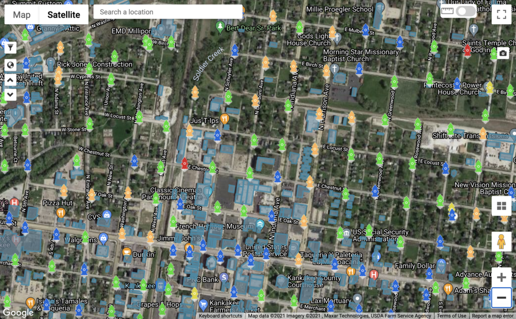
GIS mapping solutions increase department efficiency in several ways. First, they streamline incident response by providing accurate satellite mapping of the district with key assets easily visible. For example, the Google Map satellite view in the image above shows streets, structures, and color-coded hydrants. Responders see exactly where to go.
When firefighters have instant access to FlowMSP’s GIS maps, especially ones tied to their dispatch notifications, their response time improves. Further, they know where to stage the apparatus before they even arrive on scene. By providing the best information at the outset, FlowMSP GIS mapping streamlines incident response.
In addition, GIS mapping increases efficiency during a fire attack or medical emergency. Because of easy access to pre-incident plan data such as floor plans, building data, hazards, photos, and more, first responders can quickly assess the situation. This saves time as they make critical decisions, and it prevents mistakes from slowing down operations.
Fire departments not only need access to pre-plans, but they need the ability to quickly add and edit relevant information at a moment’s notice.
As we all know, data is in a constant state of flux. Information such as building owner contact information changes frequently, and keeping data accurate improves efficiency. Using FlowMSP’s cloud-based GIS mapping solution, departments and districts retain a higher degree of control when it comes to this accuracy.
With the GIS mapping solution’s connection to the cloud, each edit to a pre-plan can be done in seconds. At the same time, it becomes available across all devices. Similarly, firefighters can access pre-plans within moments of receiving a dispatch notification.
In summation, when compared to traditional pre-plan binders, the advantage of FlowMSP’s cloud-based GIS pre-incident planning is obvious. Faster pre-plan creation, faster edits, and faster access lead to greater efficiencies in coordinating first due response, and beyond.
So if the first question is “Are we being as efficient as we can?”, the second question should be “How can we be as efficient as possible?”
A member of the FlowMSP team can walk you through a personal online demonstration of the FlowMSP app. In this one-on-one experience you can outline your department’s goals and see how FlowMSP can help.
